Heading out on a hiking trail without a solid plan can quickly turn an exciting adventure into a stressful experience. That’s why using maps and navigation tools is essential for any outdoor excursion. Whether you’re tackling a familiar path or venturing into new terrain, understanding how to read maps and use navigation aids will boost your confidence, keep you safe, and make your hike far more enjoyable. In this article, we’ll walk you through everything you need to know about choosing the right maps, mastering navigation tools, and planning your trail like a pro.
1. Understand Different Types of Maps for Hiking
First up: not all maps are the same, and knowing which one to grab can save you headaches out there.
Topographic maps are the real deal for serious hikers. These babies show you the highs and lows of the land with contour lines, plus rivers, ridges, and other important stuff. If you want to know when you’re in for a brutal uphill or a chill stroll, these maps have your back.
Then there are trail maps or guide maps - more straightforward and focused on marking the actual hiking paths, campsites, or cool lookout spots. They’re easier to read and perfect if you’re sticking to well-known trails.
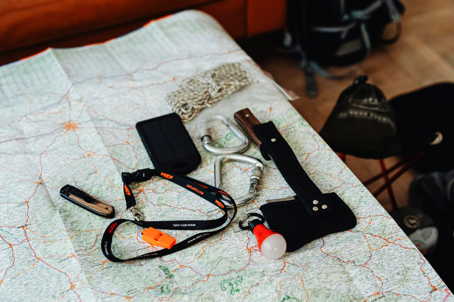
Now, digital maps and apps have changed the game. You can load up maps on your phone, track yourself in real-time, and even download offline versions if you’re going where there’s no signal. Super handy, but don’t ditch your paper map just yet. Technology can fail, and having a backup is a lifesaver.
So, think about the type of trip you’re planning. Remote and wild? Topo maps plus a GPS app. Short and easy? A trail map might do just fine.
2. Learn to Read Maps Effectively
Getting your hands on the right map is great, but reading it well is where the magic happens.
Start with the scale - this tells you how the distances on your map stack up to reality. It helps you figure out how long your trek might be and pace yourself better.
The legend is your decoder ring. It explains all the symbols: trails, water sources, shelters, and more. Skipping this step means guessing what a weird icon means while you’re already tired on the trail.
Then, contour lines - these squiggly lines that show elevation changes - are your best friends. When they’re packed tight, get ready for a steep climb. Spread out? Nice and flat. Learning to “read” terrain this way helps avoid nasty surprises like sudden hills or river crossings.
Pro tip: Before you go, trace your route with your finger on the map. Visualize the ups and downs, water stops, and junctions. The more familiar you are, the less you’ll stress out when you’re actually out there.
3. Overview of Navigation Tools
Maps are awesome, but pairing them with navigation tools kicks things up a notch.
A compass might seem old-school, but trust me, it’s still gold. No batteries, no signal needed, just a needle that always points north. If you learn a few basics - like how to take a bearing - you’re set for any situation.
Then, there are GPS devices - super accurate gadgets that tell you exactly where you are, let you mark spots, and track your whole route. Perfect for those off-the-grid hikes. But remember, batteries can run out, and gadgets can glitch.
Your smartphone is a cool middle ground. Apps like AllTrails or Gaia GPS give you detailed maps, track your progress, and often work offline. Just be sure your battery’s juiced up and maybe bring a power bank.
Bottom line? Tech is great, but always pack some analog backup. Paper maps and a compass won’t let you down.
4. Combining Maps and Navigation Tools for Trail Planning
This is where it all comes together.
Start by plotting your route on the map - physical or digital. Mark the must-know spots: water sources, campsites, cool viewpoints, and trail junctions. These waypoints will keep you oriented and make it easier to know where you are or where you’re headed.
Use your GPS or app to check distances and elevation gains, so you don’t bite off more than you can chew. Many apps also suggest alternate routes, which is clutch if you need a quick exit or want a detour.
Heads-up on tech: be mindful of battery life and signal issues. Keep your devices charged, and never rely on them 100%. That paper map and compass are your safety net.
5. Tips for Practical Trail Navigation
Navigation is a skill, and like any skill, it gets better with practice. Here are some golden rules:
Always carry backup tools - a map and compass are the classic combo.
Check your position regularly while hiking. Don’t wait to realize you’re off track hours later. A quick stop to verify where you are saves a lot of panic.
Before your hike, practice orienting your map with the terrain, taking compass bearings, and using your GPS. The more you do this, the more second-nature it becomes.
If you find yourself in thick fog, dense woods, or confusing trail intersections, don’t freak out. Slow down, use your tools, and look for landmarks. If all else fails, retrace your steps to the last known point.
Closing Words
Getting your head around maps and navigation tools makes all the difference between a wild goose chase and a killer outdoor adventure. When you combine the right maps, solid map-reading skills, and a mix of traditional and tech navigation gear, you’re not just following trails - you’re owning them. So, gear up, learn your tools, and get ready to explore with confidence. Out there, every step becomes a story you control - and that’s what hiking is really about.
Ready to put those skills to work? Grab your map, fire up your compass, and plan that next trail adventure. The wild is waiting!